Roys Peak is a 16 km return hike near Wānaka that climbs more than 1,200 m to a 1,578 m summit, and DOC allows 5 to 6 hours. It is closed for lambing from 1 October to 10 November every year and reopens on 11 November. Parking is free but the car park fills, so start early, carry plenty of water because there is none on the track, and use Isthmus Peak as your backup when Roys is closed.
On this page
Key facts
- Distance and time
- 16 km return, 5 to 6 hours (DOC)
- Climb
- Over 1,200 m elevation gain to the 1,578 m summit
- Lambing closure
- 1 October to 10 November every year, reopens 11 November
- Parking
- Free for cars and campervans, about 6 km west of Wānaka. Fills up
- Water and shade
- None on the track
- Toilets
- Two: car park and the photo viewpoint
- Best alternative
- Isthmus Peak, 16 km return, 5 to 7 hours (closed 20 November to 20 December)
- Checked
- As at November 2026
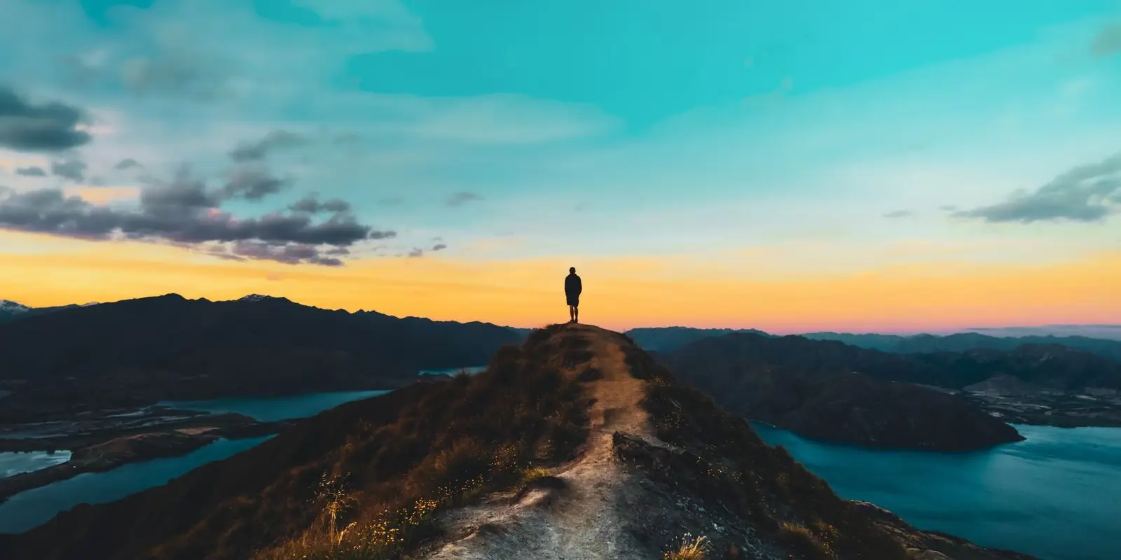
Roys Peak is the hike behind a thousand phone wallpapers: a lone figure on a ridge, Lake Wānaka curling away below, snowy peaks behind. DOC calls it one of New Zealand’s most popular day hikes, and the reality matches the photos. So does the crowd, the heat and the climb.
This guide covers what the track is like, the annual lambing closure, where to park, when to start and what to do if Roys is closed or full. Details are from DOC and are current as at November 2026.
The track at a glance
| Item | Detail (DOC) |
|---|---|
| Distance | 16 km return on the same track |
| Time | 5 to 6 hours return |
| Climb | More than 1,200 m elevation gain |
| Summit | 1,578 m |
| Grade | Easy to intermediate walking track, high fitness needed |
| Start | Roys Peak car park, Wānaka to Mount Aspiring Road |
| Closed | 1 October to 10 November (lambing) |
| Water | None on the track |
| Toilets | Car park and near the photo viewpoint |
| Dogs, bikes, drones | No dogs, no mountain bikes, no drones without a permit |
The track zig-zags steeply up the face of the hill, first through farmland and then tussock. It is not technical, but it is steep and unshaded the whole way up. Most of it crosses private land, so stay on the marked track, leave gates as you find them and give stock space.
The famous photo viewpoint on the ridge is roughly 30 minutes before the summit. Many walkers stop there, which is a fair call on a hot day. The summit adds a wider view over the Southern Alps/Kā Tiritiri o te Moana. From the top you return the same way, although experienced trampers can continue onto the harder Skyline Track.
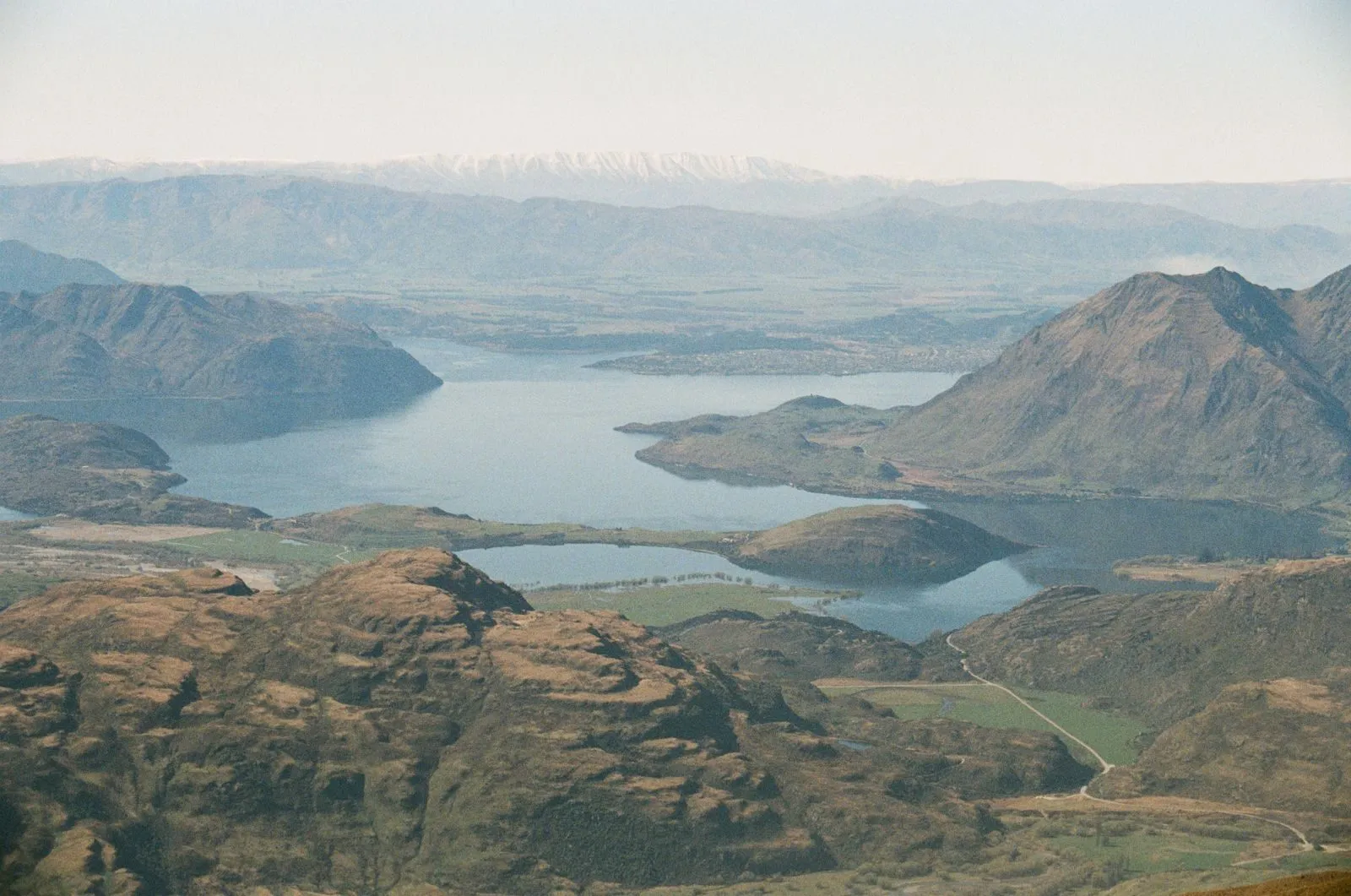 Lake Wānaka and Glendhu Bay, the view that unfolds as you climb. Photo: Paul Campbell via Pexels.
The lambing closure
Roys Peak Track closes from 1 October to 10 November every year for lambing, and reopens on 11 November. Because most of the track is on working farmland, the closure is not optional and it is not a “soft” closure: plan around it.
If you are in Wānaka during those dates, DOC suggests Isthmus Peak instead. Note that Isthmus has its own closure for fawning from 20 November to 20 December, so the two closures do not overlap. In other words, at least one of the big two is always open outside winter conditions.
Insider tip: the first weeks after the 11 November reopening are busy, because everyone who waited out the closure heads up at once. If you are in Wānaka for a few days in mid-November, pick a weekday and start early.
Parking and getting there
From Wānaka, drive west on the Wānaka to Mount Aspiring Road for about 6 km. The large Roys Peak car park is on your left. According to DOC:
- Parking is free for cars and campervans.
- The car park gets very busy and may have no spaces.
- Do not park on the edge of the road when it is full.
If you do not have a car, you can walk or cycle from town using the Waterfall Creek Track, the Glendhu Bay Track and a section of road (these are not DOC-managed), or use a shuttle or taxi. The Wānaka i-SITE can point you to transport options.
Camping is not allowed at the car park. If you are travelling by campervan, read our freedom camping rules before you park up for the night anywhere near Wānaka: self-contained only, and the local bylaws are strict.
When to start
DOC says the safest time to hike Roys Peak is during daylight. Plenty of people go up in the dark for sunrise, and if you do, DOC lists head torches, spare batteries and very warm clothes as essential, and warns against relying on your phone torch.
Each season brings a different problem:
- Summer: very hot, with no shade or water on the track. DOC recommends lots of water and sun protection, and avoiding the hottest part of the day. An early start solves both the heat and the parking.
- Autumn: very variable. It can be hot, or cold with snow.
- Winter: snow and ice make it much harder. You may need micro-spikes and poles, and there is avalanche terrain above 1,000 m. Check the New Zealand Avalanche Advisory and the Tititea/Mount Aspiring National Park Visitor Centre first.
- Spring: frozen ground and cold can linger, and the track is closed for lambing from 1 October to 10 November.
The upper track is alpine. Weather can turn to rain, snow and cold at any time of year, so check the forecast and be willing to turn around.
What to take
DOC’s list for Roys Peak is short and non-negotiable:
- Plenty of water, because there is none along the track
- Sun protection: sunscreen, sunglasses, a sunhat and covering layers
- Warm layers and a waterproof, windproof jacket, even on a hot morning
- Sturdy footwear with good grip
- Food
- A torch or head torch
- A fully charged phone
Leave your plans with someone, and consider a personal locator beacon if you are heading higher than the summit.
Staying safe on a busy track
Roys Peak feels tame because there are so many people on it, but the top half is alpine terrain and the descent is where tired legs slip. DOC’s outdoor safety code boils down to five steps:
- Choose the right trip for you. Learn the route and be honest about your fitness. Over 1,200 m of climbing in 8 km is a lot if you do not hike often.
- Understand the weather. Check the forecast the night before and again in the morning.
- Pack warm clothes and extra food, even in summer.
- Share your plans and take a way to get help. Leave your intentions with someone you trust and carry a distress beacon.
- Take care of yourself and each other.
Two extra points from DOC’s page: the track can be crowded, so pass with care on the narrow zig-zags, and fires are not allowed on the private land. If you are unsure about winter conditions, the visitor centre in Wānaka has the latest track reports.
Alternatives to Roys Peak
If Roys is closed, the car park is full or you want something quieter, these DOC tracks around Wānaka are good swaps:
| Track | Distance and time | Why pick it | Watch out for |
|---|---|---|---|
| Isthmus Peak | 16 km return, 5 to 7 hours | Views over Lake Wānaka and Lake Hāwea, less busy | Steeper grade (advanced tramping track), 1,000 m climb, closed 20 November to 20 December |
| Rocky Mountain and Diamond Lake | 7 km loop, about 3 hours | Lake and mountain views for half the effort | Steep, slippery sections |
| Mount Iron | 4.5 km loop, about 1.5 hours | Quick views over town and lake, close to town | Climbs nearly 250 m, so still a workout |
| Rob Roy Track | 10 km return, 3 to 4 hours | Hanging glacier, waterfalls, kea | 54 km drive with fords on the last section; avalanche risk past the lower lookout from May to November |
Isthmus Peak is the closest like-for-like swap. The car park is off State Highway 6, north of Lake Hāwea township and about 30 minutes’ drive from Wānaka. You gain 1,000 m over 8 km and, like Roys, there is no water on the track. Take care crossing the highway from the car park.
Rob Roy is a different kind of day: forest, a swing bridge and a glacier hanging off the cliffs at the head of the valley. The road to Raspberry Creek car park takes about 1 hour 20 minutes, and the last 30 km are gravel with fords that can become impassable after heavy rain.
Our things to do in Wānaka guide covers more walks and the rest of the town.
Fitting Roys Peak into a trip
Roys Peak takes most of a day once you add the drive, the climb and a rest at the top, so plan a full day for it. Wānaka is roughly an hour and a quarter from Queenstown by road, and many visitors stop on a South Island loop; our 14-day South Island road trip builds in a Wānaka night. If the forecast looks bad on your planned day, swap it with a lower walk and keep Roys for the clearer morning.
FAQ
How long does Roys Peak take?
When is Roys Peak closed?
Do you have to pay to park at Roys Peak?
Is Roys Peak hard?
Do you need to go to the summit?
Sources
Last checked 11 November 2026
- Roys Peak Track · Department of Conservation
- Isthmus Peak Track · Department of Conservation
- Rob Roy Track · Department of Conservation
- Rocky Mountain Track · Department of Conservation
- Mount Iron Track · Department of Conservation
- New Zealand Avalanche Advisory · Mountain Safety Council