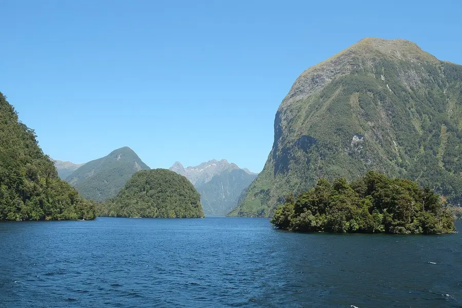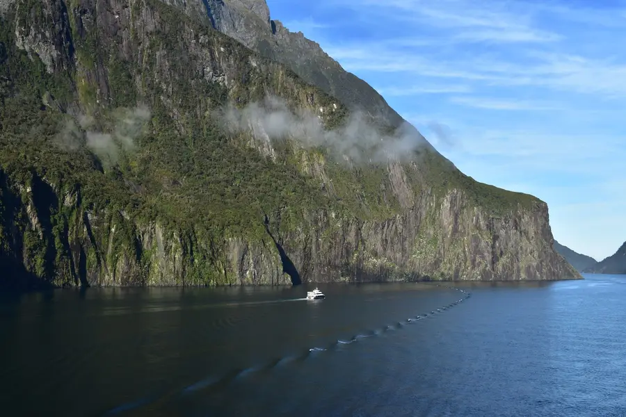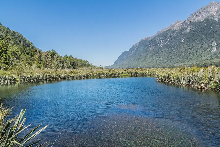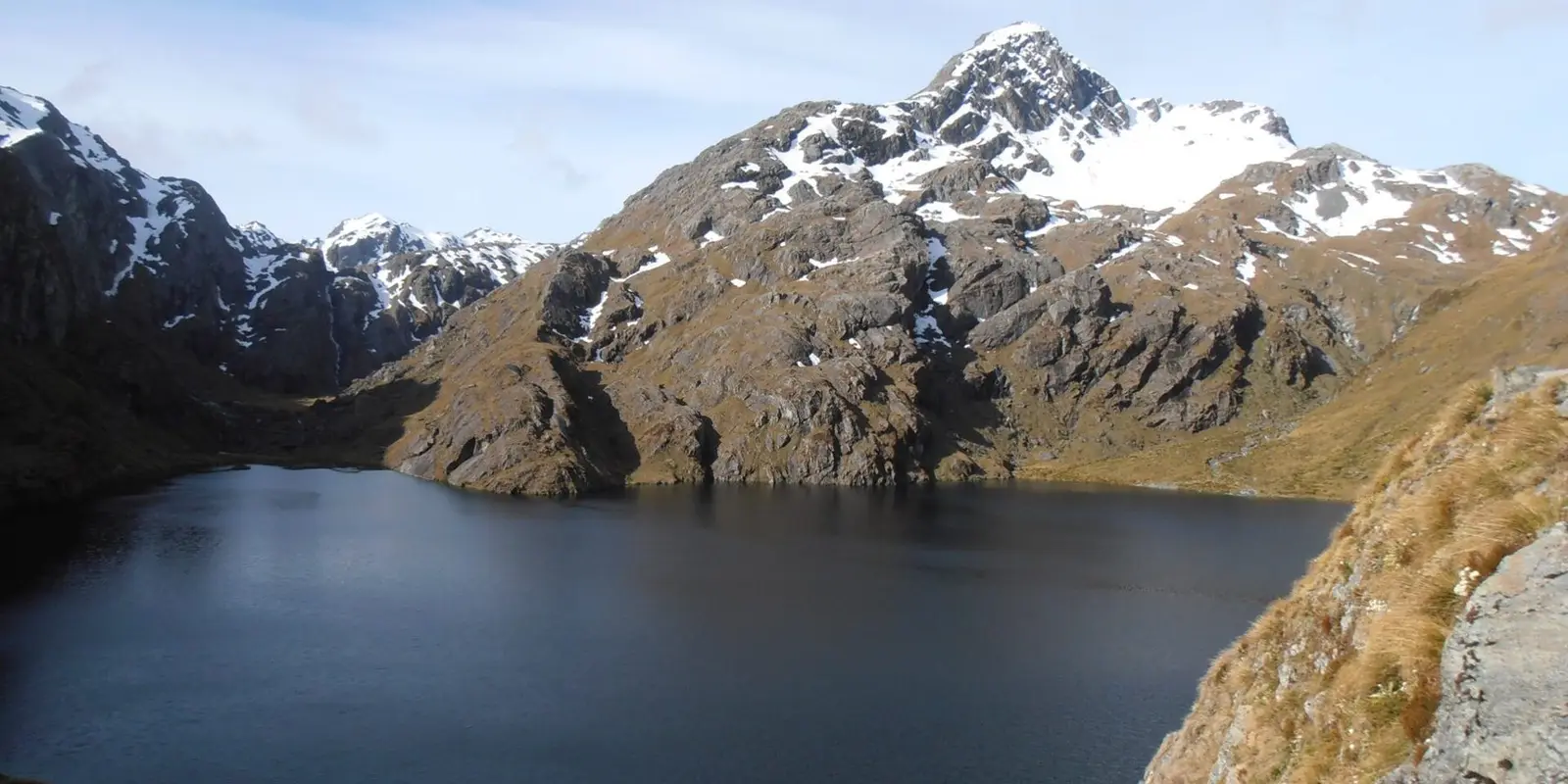
The Routeburn is a 32 km, one-way Great Walk between the Routeburn Shelter near Glenorchy and The Divide on the Milford Road. Most people take 3 days and 2 nights, staying at Routeburn Falls and Lake Mackenzie huts. In the Great Walks season (1 November 2026 to 30 April 2027) huts cost $132 a night for international adults ($88 for New Zealanders) and must be booked. The two ends are 325 km apart by road, so sort transport before you book. Short on time? Key Summit or Routeburn Flats make great day walks.
On this page
Key facts
- Distance and time
- 32 km one way, 2 to 4 days (DOC)
- Hut fee, Great Walks season
- $132 international adult, $88 NZ adult, per night (1 Nov to 30 Apr)
- Campsite fee, Great Walks season
- $42 international adult, $28 NZ adult, per night
- Highest point
- Harris Saddle/Tarahaka Whakatipu, 1,255 m
- Road distance between ends
- 325 km (DOC)
- Shuttle examples (Info & Track)
- Queenstown to Routeburn Shelter $70, The Divide to Queenstown $109
- Winter
- May to late October: alpine skills only, avalanche risk
- Prices checked
- As at November 2026
The Routeburn Track links Mount Aspiring and Fiordland national parks across the Southern Alps, with beech forest, waterfalls, alpine lakes and a long balcony walk above the Hollyford Valley. It is shorter than the Milford or Kepler, which makes it the Great Walk most first-timers can fit into a South Island trip.
It is also a logistics puzzle. The two ends are a long way apart by road, the huts book out, and the mountain weather does what it likes. This guide sorts the bookings, transport and day walk options, using DOC’s own figures. Prices are in NZD, as at November 2026. For how it compares with the other ten Great Walks, see our Great Walks guide.
Quick answer
- What: a 32 km one-way tramp, 2 to 4 days (DOC). Most people take 3 days and 2 nights, staying at Routeburn Falls Hut and Lake Mackenzie Hut.
- When: the Great Walks season, 1 November 2026 to 30 April 2027, when huts are serviced and bookings are required. Outside that, it is an alpine trip for experienced people only.
- Cost: huts are $132 per night for international adults and $88 for New Zealanders in season.
- Transport: the ends are 325 km apart by road, so you need a shuttle at one or both ends.
- No time or no booking? Walk to Key Summit from The Divide, or to Routeburn Flats from the Routeburn Shelter, as a day trip.
Track overview
The track runs between the Routeburn Shelter, 25 km from Glenorchy on a partly unsealed road, and The Divide Shelter on the Milford Road, 85 km from Te Anau (DOC). DOC’s sections, walked from the Routeburn end:
| Section | Distance | Time (DOC) |
|---|---|---|
| Routeburn Shelter to Routeburn Flats Hut | 7.5 km | 1 hour 30 minutes to 2 hours 30 minutes |
| Routeburn Flats Hut to Routeburn Falls Hut | 2.3 km | 1 to 1 hour 30 minutes |
| Routeburn Falls Hut to Lake Mackenzie Hut | 11.3 km | 4 hours 30 minutes to 6 hours |
| Lake Mackenzie Hut to The Divide | 12 km | 4 to 5 hours 30 minutes |
The big day is the middle one. You climb past Lake Harris to Harris Saddle/Tarahaka Whakatipu (1,255 m), the highest point, where there is a day shelter with toilets. Then you traverse the exposed Hollyford Face with views over the Darran Mountains before dropping to Lake Mackenzie. Fit walkers can add the steep Conical Hill side trip from the saddle, 1 hour 30 minutes to 2 hours return, for views to the Tasman Sea (DOC). Snow and ice can make it hazardous early and late in the season.
The last day passes the 174 m Earland Falls and Lake Howden, then climbs about 15 minutes to the Key Summit turn-off before descending to The Divide. Lake Howden Hut was destroyed by a storm in 2020 and is permanently closed.
Booking huts
There are three huts (Routeburn Flats, Routeburn Falls, Lake Mackenzie) and two campsites (Routeburn Flats, Lake Mackenzie). Huts have bunks with mattresses, heating, toilets, basic cooking facilities with fuel, solar lighting, cold water and a resident ranger. They do not have food, utensils, showers or bedding. Campers cannot use hut facilities.
Fees per person per night, 2026/27 (DOC):
| Dates | Hut, international adult | Hut, NZ adult | Campsite, international adult | Campsite, NZ adult |
|---|---|---|---|---|
| 1 November to 30 April | $132 | $88 | $42 | $28 |
| 1 May to 30 June | $35 | $35 | $10 | $10 |
| 1 July to 31 October | $30 | $30 | $10 | $10 |
International children (0 to 17) pay $66 a night in huts in season. You need proof of eligibility for the New Zealand rate.
How booking works:
- Bookings open online through DOC once a year. For 2026/27 the Routeburn opened at 9:30 am on Friday 15 May 2026, with a virtual queue.
- In season you must book every night. DOC can charge a penalty or turn you away without a booking.
- Outside the season you do not book. Bunks are first come, first served and you pay with Backcountry Hut Tickets or a Backcountry Hut Pass.
DOC reported that across the Great Walks, many huts were full or nearly full at peak times last summer. If the huts are gone for your dates, check the campsites, try shoulder months like November or April, or do a day walk instead.
Insider tip: book your transport at the same time as your huts. DOC warns not to pick a shuttle time that forces you to leave a hut before it is light enough to walk safely.
Transport logistics
This is the part people underestimate. The Routeburn Shelter and The Divide are 325 km apart by road (DOC), so you cannot simply walk back to your car.
Your options:
- Shuttles at both ends. Info & Track runs scheduled transport from Queenstown. As at November 2026, Queenstown to the Routeburn Shelter is $70 adult, The Divide to Queenstown is $109, and The Divide to Te Anau is $61. Tracknet runs connecting services between Queenstown, Te Anau, The Divide and the Routeburn Shelter.
- Car relocation. Some operators will drive your car from one end to the other, so it is waiting when you finish. Ask the transport companies about this when you book.
- Base in Te Anau. If you walk from the Routeburn end to The Divide, you finish an hour or so from Te Anau, which is handy if you are heading to Milford Sound next. Our Queenstown or Te Anau guide weighs up the two bases.
Driving yourself: Queenstown to Glenorchy is about 46 km and 40 minutes, then 25 km on to the Routeburn Shelter (routing estimates, no stops). DOC notes the last stretch is gravel, narrow through the forest, and may not suit large campervans.
Day walk options
You can enjoy the best of the Routeburn without booking a hut. Times are from DOC.
From The Divide (Milford Road end):
- Key Summit: follow the Routeburn Track for about an hour to the Key Summit turn-off, then climb 20 minutes to an alpine wetland with views over the Humboldt and Darran Mountains. DOC says it is suitable for families and, if you only have time for one walk on the way to Milford Sound, this is the one. See our Milford Sound day trip guide for fitting it into that drive.
- Lake Howden: a short walk past the Key Summit turn-off down to the lake.
- Earland Falls: about 1 hour 30 minutes to Lake Howden, then on towards Lake Mackenzie to the 174 m falls, and back the same way.
From the Routeburn Shelter (Glenorchy end):
- Routeburn Nature Walk: a short, easy loop through red beech forest that starts 10 to 15 minutes along the main track.
- Routeburn Flats: 7.5 km and 1 hour 30 minutes to 2 hours 30 minutes each way, mostly gentle along the river, with Bridal Veil Waterfall and a swing bridge on the way.
- Routeburn Falls: another 2.3 km of steady climbing from the Flats for the hut at the bushline and the falls beside it. This makes a long but rewarding day.
Guided walks
If you want a bed, hot shower and meals, Ultimate Hikes runs a guided 3-day Routeburn walk staying in private lodges. As at November 2026, it starts from $1,979 per adult in a shared room. That is a big step up from a $132 hut bunk, but it includes transport from Queenstown, food and guides.
What to pack
DOC huts give you a bunk and a stove and nothing else, so you carry the rest:
- Sleeping bag and a light inflatable pillow if you like
- Food for every meal plus spare, a pot, plate, cup and cutlery
- Rain jacket and overtrousers that are actually waterproof, plus warm layers, hat and gloves, even in summer
- Sturdy boots and blister kit
- Insect repellent for sandflies, and your antihistamines or medication if you react to wasp stings (DOC warns of both)
- Head torch, sunscreen and sunglasses
- Personal locator beacon and a printed map, because there is no phone coverage
- Rubbish bags: you carry everything out
Didymo, an invasive freshwater algae, has been found in creeks between Harris Saddle and Lake Mackenzie. DOC asks you not to take water there and to check, clean and dry your gear between streams.
Weather and safety
Fiordland gets up to 9,000 mm of rain a year (DOC), and the weather can change fast in any season. Snow, strong wind and heavy rain can happen even in summer.
- Check the forecast for the track on NIWA’s site before you start and at each hut. Ask the hut ranger for advice.
- Floods: after heavy rain, sections often flood. DOC says streams drop quickly once rain stops. Do not try to cross a stream in flood: wait or turn back.
- Avalanches: the risk can last into December. DOC may close sections when there is avalanche danger.
- Rock fall: do not stop in the marked no-stopping zones.
- Winter (May to late October): DOC says only people with alpine skills, gear and experience should attempt it. Facilities are reduced and the risk from snow, ice and avalanches rises.
- Children: not recommended for under 10s.
If you are planning the rest of your time in the area, things to do in Queenstown covers the town at the other end of your shuttle.
FAQ
How hard is the Routeburn Track?
Do I need to book the Routeburn Track?
Which direction should I walk the Routeburn?
When do Routeburn bookings open?
Can I do the Routeburn Track in one day?
Is there phone coverage on the Routeburn Track?
Sources
Last checked 11 November 2026
- Routeburn Track · Department of Conservation
- Routeburn Track description · Department of Conservation
- Routeburn Track fees and bookings · Department of Conservation
- Routeburn Track getting there · Department of Conservation
- Routeburn Track know before you go · Department of Conservation
- Key Summit Track · Department of Conservation
- Earland Falls Track · Department of Conservation
See more sources (7)See fewer
- Routeburn Nature Walk · Department of Conservation
- Routeburn Flats Hut · Department of Conservation
- Great Walk bookings open from 12 May (media release, 26 March 2026) · Department of Conservation
- Track transport timetable and fares · Info & Track
- Fiordland track transport · Tracknet
- Routeburn Track guided walk · Ultimate Hikes
- Route distances and times (OpenStreetMap routing, no stops) · OSRM / OpenStreetMap contributors