The usual route is inland via Lake Tekapo and the Lindis Pass: about 485 km and 6.5 hours without stops by our routing estimate. Do it in two days with a night at Lake Tekapo for stargazing, or three with a detour to Aoraki/Mount Cook. The coastal route via Dunedin is longer, about 633 km and nearly 9 hours, and only makes sense if you want Dunedin and the Otago Peninsula.
On this page
Key facts
- Inland route
- About 485 km via Lake Tekapo, about 6 h 30 min without stops (estimate)
- Coastal route
- About 633 km via Dunedin, about 8 h 50 min without stops (estimate)
- Best overnight
- Lake Tekapo, or Twizel for Aoraki/Mount Cook
- Highest point
- Lindis Pass, 971 m (Te Ara)
- Last 24/7 fuel
- Cromwell, McNulty Road
- Winter warning
- Check NZTA for snow on the Lindis Pass and Burkes Pass
- Checked
- As at November 2026
Christchurch to Queenstown is the drive almost every South Island visitor ends up doing, usually straight off a long-haul flight. The good news: the main route is one of the most scenic in the country, through the Mackenzie Country’s turquoise lakes and over the golden Lindis Pass. The bad news: it is long, and the temptation is to blast through in a day and miss the best of it.
This guide compares the two routes, gives honest drive times, and lays out a relaxed two-day plan with the stops worth your time. Prices and hours were checked on official sites as at November 2026. Drive times are routing estimates without stops, so add time for photos and coffee.
Route overview
- Start and finish
- Christchurch to Queenstown
- Days
- 2 days
- Total driving
- About 485 km (inland route via Lake Tekapo)
- Longest day
- Day 2, Lake Tekapo to Queenstown, about 283 km
- Best time
- October to April; check snow on the Lindis Pass in winter
Route options: inland or coastal
There are two sensible ways to drive between the cities:
| Route | Via | Distance | Drive (estimate, no stops) | Best for |
|---|---|---|---|---|
| Inland (recommended) | Geraldine, Lake Tekapo, Twizel, Lindis Pass, Cromwell | About 485 km | About 6 h 30 min | Lakes, mountains, stargazing, Aoraki/Mount Cook |
| Inland, direct | As above, skipping the Tekapo village stop | About 481 km | About 6 h 20 min | Getting there fast |
| Coastal | Timaru, Ōamaru, Dunedin, then inland to Queenstown | About 633 km | About 8 h 50 min | Dunedin, the Otago Peninsula, coastal towns |
The inland route is shorter and much more scenic, and it is what we recommend for a first trip. The coastal route via Dunedin only makes sense if you want time in Dunedin itself; see our things to do in Dunedin guide if that is you. Our routing estimate puts Christchurch to Dunedin at about 360 km and 5 hours, then Dunedin to Queenstown at about 273 km and 3 hours 45 minutes.
Day-by-day itinerary
Day 1: Christchurch to Lake Tekapo
Christchurch→Lake Tekapovia State Highway 1, State Highway 79 and State Highway 8
- DistanceAbout 227 km
- Drive timeAbout 3 h 10 min (estimate)
- OvernightLake Tekapo
Cross the Canterbury Plains, climb into the high country through Geraldine and Fairlie, and spend the night by a turquoise lake inside a dark sky reserve.
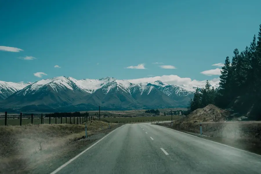
The first half of the drive is flat and straight across the Canterbury Plains, a patchwork of farms and shelter belts. After Geraldine the road climbs gradually through Fairlie and over Burkes Pass into the Mackenzie Basin, a wide, dry tussock bowl ringed by mountains.
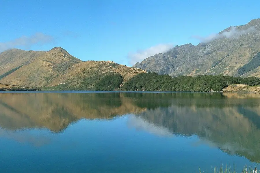
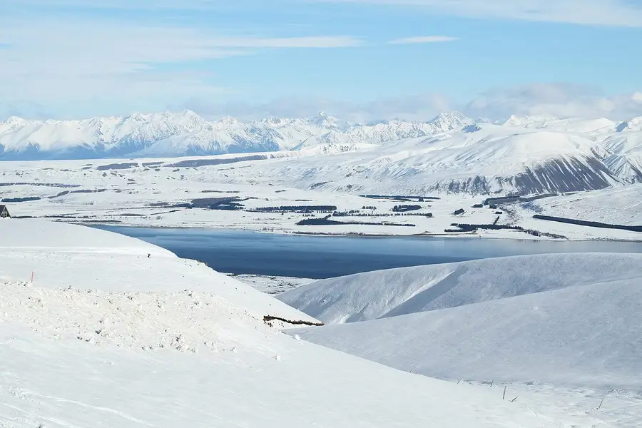
Lake Tekapo/Takapō is 30 km long and 120 m deep, and its milky turquoise colour comes from finely ground rock in the glacial meltwater that feeds it (DOC). The village sits inside the Aoraki Mackenzie International Dark Sky Reserve, so tonight is a stargazing night if the sky is clear.
Our routing estimate is about 138 km and 1 hour 55 minutes from Christchurch to Geraldine, and about 89 km and 1 hour 10 minutes on to Tekapo via Fairlie, without stops. DOC puts Tekapo about 3 hours from Christchurch.
How the day runs
- Morning9 am
Leave Christchurch and cross the plains to Geraldine for morning tea.
- Midday12 pm
Lunch in Fairlie, then over Burkes Pass to Tekapo.
- Afternoon2 pm
The Church of the Good Shepherd, then drive up Mt John for the view, or soak at Tekapo Springs.
- Evening
A stargazing tour, or walk away from the streetlights after dark.
Stops and highlights4
Church of the Good Shepherd. A small stone church on the lakeshore. The grounds are open during the day, but the church itself has limited hours, and photography is not allowed inside. Long vehicles should park on the village side of the SH8 bridge (Church of the Good Shepherd).
- Cost: $5 donation suggested
Mt John. Drive to the summit, home to the University of Canterbury's Mt John Observatory and the Astro Café, or walk up from Tekapo Springs on the Mt John Walkway (DOC, Dark Sky Project).
- Time: Summit Circuit 30 to 45 min, or the walkway loop about 3 h
- Cost: Free to walk
- Parking: Summit road $14 per vehicle
Tekapo Springs. Hot pools with lake and mountain views at the base of Mt John. Our Lake Tekapo guide has the full price list.
- Cost: $42 adult
Stargazing tours. Dark Sky Project runs the Summit Experience on Mt John (1 hour 45 minutes, age 10 and over) and the shorter Crater Experience (75 minutes). Book ahead and check the forecast.
- Cost: Summit $239; Crater $139 adult
Where to stay tonightLake Tekapo
- Lake Tekapo: Holiday park, motels, hotels and holiday homes. Book early for summer, when beds and stargazing tours sell out.
- Freedom camping: Self-contained only, where the council allows it. Read our freedom camping guide before you park up.
Tip: Book the stargazing tour for your first clear night. If tonight is cloudy and you have flexibility, stay a second night rather than leave without seeing the sky.
Practical infoFuel, food, toilets, bookings, costs
- Fuel
- Christchurch, Geraldine and Fairlie all have fuel.
- Food and coffee
- Geraldine and Fairlie for coffee and lunch. Cafés and restaurants in Tekapo, plus the Astro Café on Mt John.
- Book ahead
- Tekapo beds and a stargazing tour, especially from December to March.
- Best time of day
- The church early or late in the day, before and after the tour buses. Stargazing on a clear, moonless night.
- Watch out for
- It gets cold at night even in summer, so bring warm layers for stargazing.
- What today costs
- Mt John road $14 per vehicle, Tekapo Springs $42, stargazing from $139 (as at November 2026). The church asks for a $5 donation.
Skip if
Cloudy forecast? Skip the paid stargazing tour. You will see nothing, and the hot pools are a better use of the evening.
Day 2: Lake Tekapo to Queenstown over the Lindis Pass
Lake Tekapo→Queenstownvia State Highway 8, the Lindis Pass and State Highway 6
- DistanceAbout 283 km
- Drive timeAbout 3 h 45 min (estimate)
- OvernightQueenstown
Aoraki/Mount Cook across Lake Pūkaki, salmon for morning tea, the tussock-covered Lindis Pass and the orchards of Cromwell before Queenstown.
Today is the most beautiful stretch. Just past Tekapo you reach Lake Pūkaki, the largest lake in the area, with New Zealand's highest mountain, Aoraki/Mount Cook, at its far end (Mackenzie NZ). There are lookouts along its shore and on the road to Aoraki/Mount Cook Village.
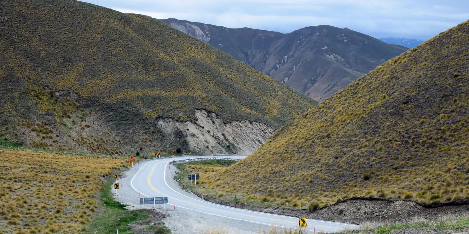
After Twizel and Omarama, State Highway 8 climbs over the Lindis Pass, a 971 m pass on the watershed between the Waitaki and Clutha rivers (Te Ara). On the other side you drop into Central Otago's fruit and wine country around Cromwell, then follow the Kawarau Gorge to Queenstown.
Our routing estimate is about 82 km and 1 hour 5 minutes from Tekapo to Twizel, then about 201 km and 2 hours 40 minutes from Twizel to Queenstown, without stops. The roads are sealed, well-graded state highways, but long and remote in places.
How the day runs
- Morning8.30 am
Leave Tekapo. Stop at the Lake Pūkaki Visitor Centre for the view and the salmon shop.
- Midday11 am
Twizel for an early lunch, or detour to Aoraki/Mount Cook (see add-ons).
- Afternoon1 pm
Over the Lindis Pass to Cromwell for fuel and fruit, then through the Kawarau Gorge.
- Evening4 pm
Arrive in Queenstown. Sunset from the Skyline Gondola or along the lakefront.
Stops and highlights4
Lake Pūkaki Visitor Centre and Mt Cook Alpine Salmon. On SH8 between Tekapo and Twizel, 10 km north of Twizel, with big views up the lake to Aoraki/Mount Cook. The Mt Cook Alpine Salmon shop here is open daily 9 am to 5 pm, weather permitting.
- Time: 30 min
- Cost: Free to stop
Twizel. A small town founded in 1968 to house workers on the Upper Waitaki hydroelectric scheme (Twizel Promotions), and a handy base for Aoraki/Mount Cook. The Four Square supermarket is at 20 Market Place (Mackenzie Tourism).
Lindis Pass. A 971 m pass through bare golden tussock hills between the Mackenzie Country and Central Otago (Te Ara). Pull over only where it is safe.
- Cost: Free
Cromwell. The natural stop before Queenstown, in the heart of Central Otago's orchards and vineyards, with a 24/7 fuel stop on McNulty Road (Allied Petroleum).
Where to stay tonightQueenstown
- Queenstown: Plenty of hotels, motels and holiday parks, but Queenstown is pricey and busy in summer. Our where to stay in Queenstown guide compares the areas.
- Freedom camping: Rules in and around Queenstown are tight. Self-contained only, where allowed. See our freedom camping guide.
Tip: Lake Pūkaki is the photo stop of the trip. If Aoraki/Mount Cook is hidden in cloud, try the lookouts again on your way past later in the morning.
Practical infoFuel, food, toilets, bookings, costs
- Fuel
- Tekapo or Twizel before the pass, then Cromwell (24/7). Do not cross the Lindis Pass low on fuel.
- Food and coffee
- Salmon at Lake Pūkaki, lunch in Twizel or Cromwell.
- Toilets and dump stations
- Lake Pūkaki Visitor Centre, Twizel, Omarama and Cromwell.
- Book ahead
- Queenstown beds well ahead in summer and ski season.
- Best time of day
- Daylight, so you can see the views and the road.
- Watch out for
- Check NZTA for snow and ice on the Lindis Pass from autumn to spring. Fatigue is the real risk on long straight roads, so take breaks.
- What today costs
- Mostly fuel. No paid stops.
Got extra time?
- Aoraki/Mount Cook detour: from the south end of Lake Pūkaki, SH80 runs to Aoraki/Mount Cook Village. Our routing estimate from Twizel is about 65 km and 50 minutes each way. Walk the 10 km Hooker Valley Track (about 3 hours return, DOC) and this becomes a three-day trip. See our Hooker Valley Track guide.
Skip if
Snow forecast for the Lindis Pass? Wait a day in Tekapo or Twizel rather than drive it in bad conditions.
Trip complete
That's the loop. You legend.
2 days and about 485 km (inland route via Lake Tekapo) of driving, finishing in Queenstown.
Full route in Google Maps (opens in a new tab)Back to the top of the itinerary
Drive times and distances
Routing estimates without stops, rounded. Add 20 to 30 per cent for stops and slower vehicles.
| Leg | Distance | Drive (estimate) |
|---|---|---|
| Christchurch to Geraldine | About 138 km | About 1 h 55 min |
| Geraldine to Lake Tekapo via Fairlie | About 89 km | About 1 h 10 min |
| Lake Tekapo to Twizel | About 82 km | About 1 h 5 min |
| Twizel to Omarama | About 31 km | About 25 min |
| Omarama to Cromwell over the Lindis Pass | About 111 km | About 1 h 25 min |
| Cromwell to Queenstown | About 60 km | About 50 min |
| Twizel to Aoraki/Mount Cook Village (detour, each way) | About 65 km | About 50 min |
| Christchurch to Queenstown, direct | About 481 km | About 6 h 20 min |
Check the NZTA Journey Planner before you set out, especially from autumn to spring, when snow can affect Burkes Pass and the Lindis Pass.
One day or two?
One day works if you are short of time and confident behind the wheel. Leave Christchurch early, stop at Lake Tekapo and Lake Pūkaki for photos, refuel in Twizel or Cromwell, and arrive in Queenstown for dinner. It is a long day after a flight, so swap drivers if you can.
Two days is the sweet spot. You get a relaxed afternoon at Lake Tekapo, a night under the Dark Sky Reserve and the Lindis Pass in morning light. This is the plan above.
Three days adds Aoraki/Mount Cook: Tekapo on night one, Twizel or Aoraki/Mount Cook Village on night two after the Hooker Valley Track, then Queenstown. If the weather is clear, it is the best upgrade you can make. Our 14-day South Island road trip uses this section in reverse.
Insider tip: fill up in Twizel or Cromwell, not the tiny places between. Cromwell has a 24/7 fuel stop on McNulty Road (Allied Petroleum), which is handy if you are arriving late, and the Lindis Pass is a bad place to watch the fuel gauge.
The best stops on the way
| Stop | What it is | Time to allow | Cost (as at November 2026) |
|---|---|---|---|
| Geraldine | Small town for morning tea | 30 min | Free |
| Church of the Good Shepherd, Tekapo | Stone church on the lakeshore | 20 min | $5 donation suggested |
| Mt John | Summit views over Lake Tekapo | 1 h | $14 per vehicle for the road |
| Tekapo Springs | Hot pools with lake views | 1 to 2 h | $42 adult |
| Lake Pūkaki Visitor Centre | Mountain view and salmon shop | 30 min | Free |
| Lindis Pass | 971 m tussock pass | 10 min | Free |
| Cromwell | Fruit stalls, fuel and food | 30 min | Free |
Where to stay
| Option | Base | Why |
|---|---|---|
| Two-day trip | Lake Tekapo | Stargazing, hot pools and the church |
| Three-day trip | Lake Tekapo, then Twizel or Aoraki/Mount Cook Village | Adds the Hooker Valley Track |
| Budget | Twizel | Often cheaper and quieter than Tekapo, and 50 minutes from Aoraki/Mount Cook (DOC) |
| Arrival | Queenstown | See our Queenstown accommodation guide |
In a campervan, freedom camping is self-contained only, and only where it is allowed; our freedom camping rules explain the rules and fines. Tekapo and Queenstown both fill up from December to March, so book as soon as your dates are firm.
Rental and road tips
- One-way hire: many people pick up in Christchurch and drop off in Queenstown. One-way hires can cost more, so compare a few companies. Our car rental guide explains what to check.
- Long straight roads across the Canterbury Plains and the Mackenzie Basin are where fatigue creeps in. Stop every couple of hours.
- Winter driving: carry chains if your rental company recommends them, and check NZTA conditions each morning.
- Wildlife and stock: expect sheep and farm vehicles on rural roads.
FAQ
How long is the drive from Christchurch to Queenstown?
Can you drive Christchurch to Queenstown in one day?
Should I take the inland or the coastal route?
Is the Lindis Pass safe in winter?
Is it worth detouring to Aoraki/Mount Cook?
Sources
Last checked 11 November 2026
- Lake Tekapo area · Department of Conservation
- Tekapo Mt John Walkway · Department of Conservation
- Astro Café and Mount John access road · Dark Sky Project
- The Summit Experience · Dark Sky Project
- Crater Experience · Dark Sky Project
- About the Aoraki Mackenzie International Dark Sky Reserve · Aoraki Mackenzie International Dark Sky Reserve
- Tekapo Springs hot pools · Tekapo Springs
See more sources (9)See fewer
- Visit the Church of the Good Shepherd · Church of the Good Shepherd
- Visit Lake Pūkaki · Mackenzie Tourism
- Visit our Lake Pūkaki store · Mt Cook Alpine Salmon
- About Twizel · Twizel Promotions
- Twizel Four Square · Mackenzie Tourism
- Otago places: Wānaka district (Lindis Pass) · Te Ara, the Encyclopedia of New Zealand
- Site locator (Cromwell fuel stop, PDF) · Allied Petroleum
- Hooker Valley Track · Department of Conservation
- Route distances and drive times (OpenStreetMap routing, no stops) · Project OSRM